Engineering


Survey & Design
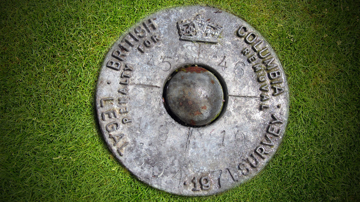
L&M Engineering can provide full topographic and site survey services for all of our development and construction projects. Our surveyors operate both in urban areas and remote locations using conventional survey applications and GPS.
Our planning and design technologists are experienced in the development of all aspects of civil engineering design and planning mapping. Civil design work includes the preparation of as-builts and construction drawings using AutoCAD and Civil 3D. Our planning technologists can prepare land use mapping, conceptual plans, subdivision layouts, presentation drawings and 3D renderings using AutoCAD and Sketch Up.


